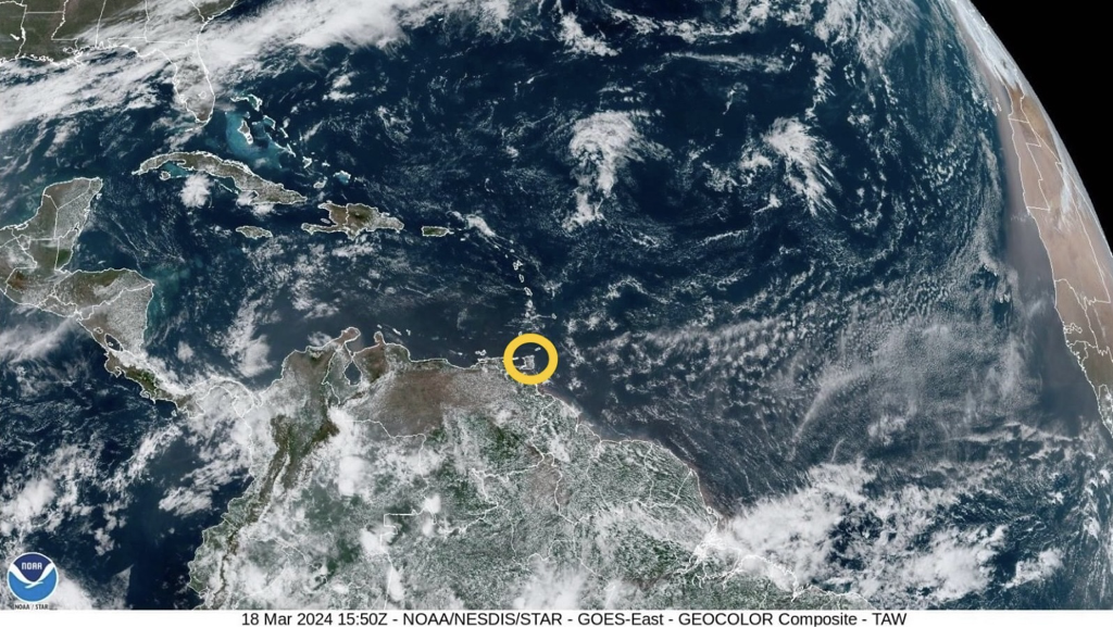
 According to the Trinidad and Tobago Meteorological Service (TTMS), over the past forty-eight (48) hours, a weak surface trough would have caused some convergence, and together with some moisture advection, produced a few showers in varying areas. The ridging pattern, together with a long and straight fetch across the Equatorial Atlantic, the Lesser Antilles and Trinidad and Tobago, continue to be the dominant feature.
Conditions are likely to be breezy, or windy at times, in some areas. Surface wind speeds are expected to be steady and generally moderate. The near-surface wind speeds (2,000 ft to approx. 8,000 ft) are expected to be moderate to strong, during this outlook period. Mostly fair, sunny, breezy and at times windy conditions, are expected across Trinidad and Tobago for this outlook period. Intermittent patches of moisture advection, together with some surface convergence, or a weak perturbation, interacting with the local topography, is likely to produce brief, light or moderate showers over varying areas, with a chance for an isolated heavy shower to occur, mainly near hilly areas. On the synoptic scale, no major precipitation-causing event or significant rainfall accumulation is predicted for Trinidad and Tobago and the Lesser Antilles, but on Thursday (21st March, 2024) to Friday (22nd March, 2024), a passing frontal system to the North and Northeast, could induce a weak perturbation, which is likely to result in a relative increase in moisture convergence over the area. There is the possibility for an isolated, moderate or heavy shower to develop, especially near hilly areas. The winds are likely to be breezy and windy at times, especially in elevated areas and in the vicinity of any shower that might occur. Seas in the open waters and near-shore areas, East of Trinidad and Tobago and the Windward Islands, will probably become choppy at times due to the steady surface winds across the Equatorial Atlantic. The Met Office notes that Saharan dust concentration in the atmosphere is expected to be mild, becoming moderate at times during this outlook period. Bush and brush fires, together with the possibility for landfill and forest fires, will likely contribute to the reduction in the air quality. Sensitive persons are still advised to continue to take the necessary precautions. The Met Office has provided the following 5-day weather outlook for T&T: Tuesday (19th March, 2024)
Wednesday (20th March, 2024)
Thursday (21st March, 2024)
Friday (22nd March, 2024)
Saturday (23rd March, 2024)
Please continue to pay attention to the latest forecasts, alerts, and information issued by the TTMS.
0 Comments
Leave a Reply. |
AboutYouthere1 is a website focused on providing useful information, breaking news, entertainment and online shopping in Trinidad and Tobago.
AlertsSupportYouTubeContactPrivacyCategories
All
Archives
May 2024
|
 RSS Feed
