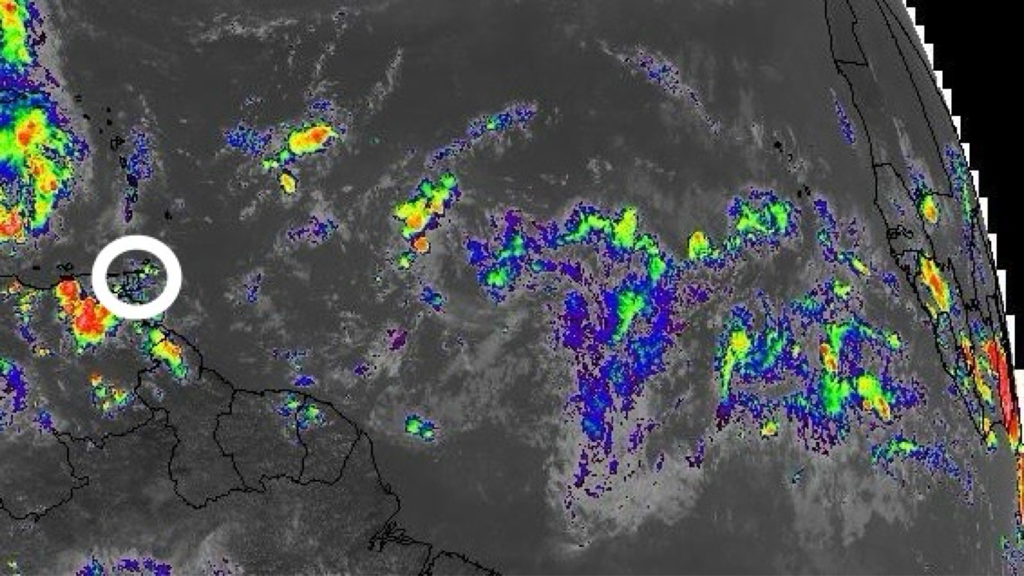
According to the Trinidad and Tobago Meteorological Service (TTMS), rainfall activity of varying intensities is expected to continue intermittently over the next several hours on Wednesday (27th October 2021). An Adverse Weather Alert (Yellow Level) remains in effect until 4pm.
There is a medium/high (60% - 70%) chance of isolated heavy showers/Thunderstorms especially over Eastern offshore areas. Gusty winds in excess of 45 Km/hr are possible in the event of heavier showers/Thunderstorms. Additional rainfall will exacerbate areas already inundated.
Smaller water courses can become overwhelmed and spill over onto surrounding environs. Localized flooding and ponding can cause temporary traffic disruptions and landslips are possible in areas so prone. Gusty winds can lead to loose/unsecured items being displaced as well as further agitation of sea conditions.
Citizens are advised to monitor weather conditions and official updates. Do not wade or drive through flood waters. Residents along river banks should be on the alert. Follow the instructions of Government Officials.
This is a developing story - refresh this page for updates.
0 Comments
Leave a Reply. |
AboutYouthere1 is a website focused on providing useful information, breaking news, entertainment and online shopping in Trinidad and Tobago.
AlertsSupportYouTubeContactPrivacyCategories
All
Archives
May 2024
|
 RSS Feed
